Brandwag Buttress Hike

About Brandwag Buttress Hike

No visit to Golden Gate would be complete without a hike to the top of Brandwag Buttress (Afrikaans for “Sentinal Buttress). This sandstone cliff adorns all the postcard of the park as it has a golden glow at sunrise and sunset; hence the name Golden Gate.

Hike Directions

The back-and-forth route from the Glen Reenen Rest Camp is just 2.4 km and should take roughly an hour to complete. The majority of the hike is along a very gentle and clearly-marked path with exception of the final stretch before the cliff itself; here you’ll find a moderate rocky outcrop that has to be climbed carefully. Although there is a fixed chain to help you with this, it shouldn’t pose much of a challenge for anyone with the ability to clime a ladder or steep staircase.

A second route from the Golden Gate Hotel approaches Brandwag Buttress from the west and is a shorter route comprised mostly of man-made steps build along the mountain side. This handy short-cut should be reserved for anyone who only has enough time for a hurried scramble up the hill; because it lacks the views and sandstone overhangs of the main route.

About the area

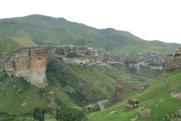
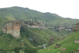
Golden Gate Highlands National Park is secretly tucked away in the rolling foothills of the Maluti Mountains and surrounded by breathtaking scenery of wildlife and lush vegetation.

The Golden Gate National Park is a Free State Nature Reserve in South Africa, located in the north eastern part of Free State and derives its name from the brilliant shades of gold cast by the sun on the sandstone cliffs, especially the imposing Brandwag rock. The area is famous for its captivating scenery, invigorating climate and the accommodation offered in hotel rooms, rondavels (round huts) and self-catering chalets.

Address & Contact details

Golden Gate Highlands National Park, Free State

Email: This email address is being protected from spambots. You need JavaScript enabled to view it.

Track Map

GPS Track Details
Track length: 1.34 km
Total ascent: 79 m
Total descent: 87 m
Difficulty Level: 1/5 - Very easy

Location Map