Golden Gate Highlands National Park is secretly tucked away in the rolling foothills of the Maluti Mountains and surrounded by breathtaking scenery of wildlife and lush vegetation.
The Golden Gate National Park is a Free State Nature Reserve in South Africa, located in the north eastern part of Free State and derives its name from the brilliant shades of gold cast by the sun on the sandstone cliffs, especially the imposing Brandwag rock. The area is famous for its captivating scenery, invigorating climate and the accommodation offered in hotel rooms, rondavels (round huts) and self-catering chalets.
Hike Directions:
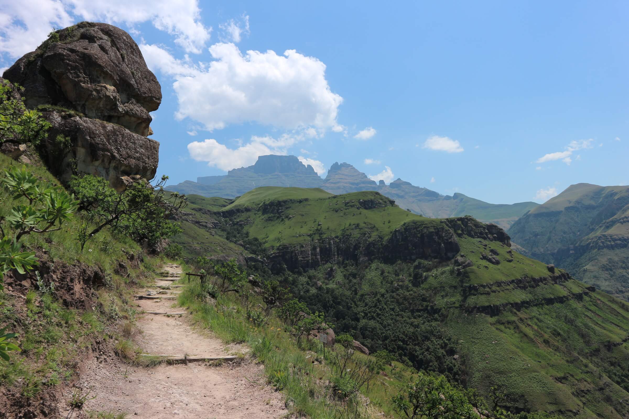
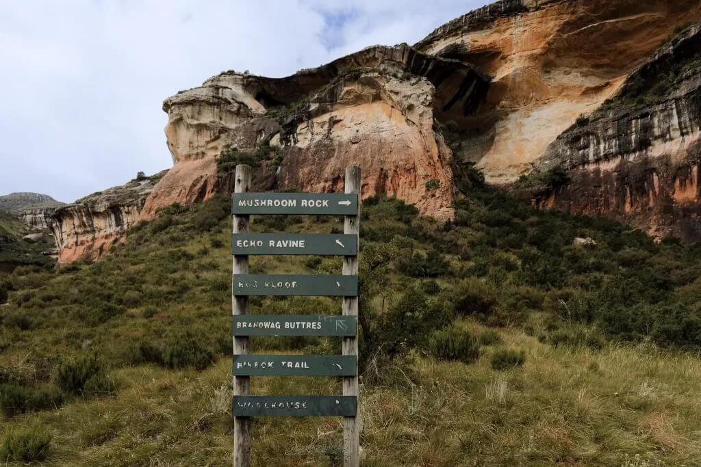
This route offers some of the clearest views of the sandstone cliffs because, unlike the other short walks; it is predominantly without any dense bushes or shrubs flanking the pathway. Near the finish of the route, the path rounds a corner and offers a wonderful view of the cliffs of Brandwag Buttress.
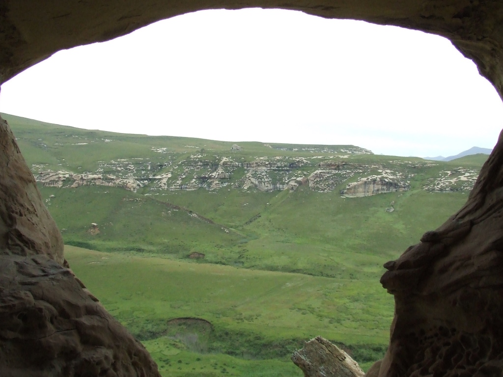
As the name suggests, Holkrans (Afrikaans for “Hollow Cliff”) is a huge cavern in the vast...
Golden Gate Highlands National Park is secretly tucked away in the rolling foothills of the Maluti Mountains and surrounded by breathtaking scenery of wildlife and lush vegetation.
The Golden Gate National Park is a Free State Nature Reserve in South Africa, located in the north eastern part of Free State and derives its name from the brilliant shades of gold cast by the sun on the sandstone cliffs, especially the imposing Brandwag rock. The area is famous for its captivating scenery, invigorating climate and the accommodation offered in hotel rooms, rondavels (round huts) and self-catering chalets.
Hike Directions:
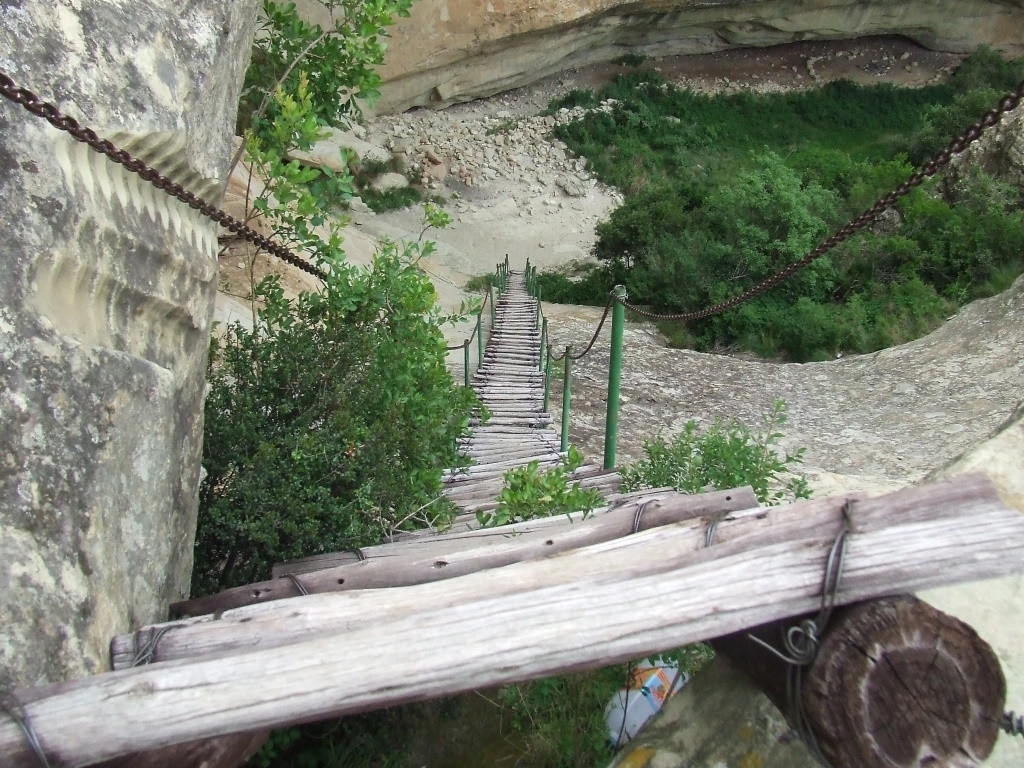
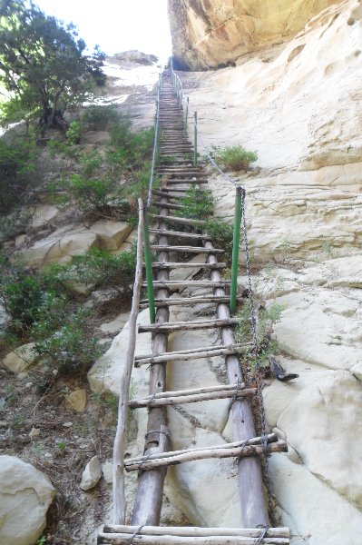
The back-and-forth route from the Glen Reenen Rest Camp is just 2.4 km and should take roughly an hour to complete. The majority of the hike is along a very gentle and clearly-marked path with exception of the final stretch before the cliff itself; here you’ll find a moderate rocky outcrop that has to be climbed carefully. Although there is a fixed chain to help you with this, it shouldn’t pose much of a challenge for anyone with the ability to clime a ladder or steep staircase.
A second route from the Golden Gate Hotel approaches Brandwag Buttress from the west and is a shorter route comprised mostly of man-made steps build along the mountain side. This handy short-cut should be reserved for anyone who only has enough time for a hurried scramble up the hill; because it lacks the views and sandstone overhangs of the main route.
No visit to Golden Gate would be complete without a hike to the top of Brandwag Buttress...
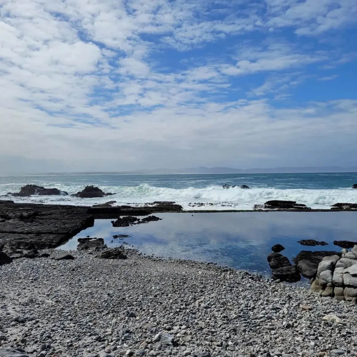
The journey begins at Grotto Beach, where participants and their dogs gather. The group departs on a leisurely walk along the pristine shoreline, enjoying the breathtaking views and the sound of crashing waves.
About the area:
Hike Directions:
The Canine Camino in Hermanus is a 3-night/4day slackpack hiking trail that offers a unique adventure for both seasoned hikers and newcomers to outdoor exploration, accompanied by their furry friends.
Day 1: Beach and Estuary Exploration
The journey begins at Grotto Beach, where participants and their dogs gather. The group departs on a leisurely walk along the pristine shoreline, enjoying the breathtaking views and the sound of crashing waves.
The route continues through an enchanting estuary, allowing everyone to stretch their legs while dogs explore and get to know each other.
A delicious dinner prepared by a Chef awaits, fostering camaraderie and good food.
Day 2: Coastal Hike and Historical Insights
We settle into comfortable accommodation for humans and dogs and start the day with a coastal hike with our furry companions. The hike offers panoramic views of the ocean and opportunities to spot marine life like whales and dolphins.
Lunch is at the Perlemoen Restaurant followed by a visit to the Old Harbor Museum to learn about the town's history and maritime heritage. Another delightful dinner is enjoyed at the accommodation.
Day 3: Mountain Adventure and Culinary Exploration
The day begins with a hike into the mountains, featuring stunning vistas and the unique fynbos floral kingdom. Lunch at the Hermanus Market includes seafood and artisanal products.
A wine tasting from wines from the Hemel-en-Aarde Valley showcasing the region's world-class wines. The day concludes with a cozy dinner.
Day 4: Nature Reserve Hike and Free Time
A hike through the Fernkloof Nature Reserve reveals the rich floral kingdom and concludes the time spent in friendship. You can then choose to relax on the nearby beaches or explore the town's boutiques and artisanal shops.
The Canine Camino is a slack pack hiking along the coast with your dog is a wonderful way to...
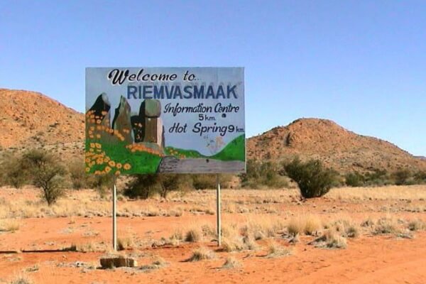
Approximately 57km from Kakamas and 170km from the Nakop Border Post with Namibia.
About the area:
Hike Directions:
Explore the rugged beauty of Riemvasmaak Nature Reserve on foot.
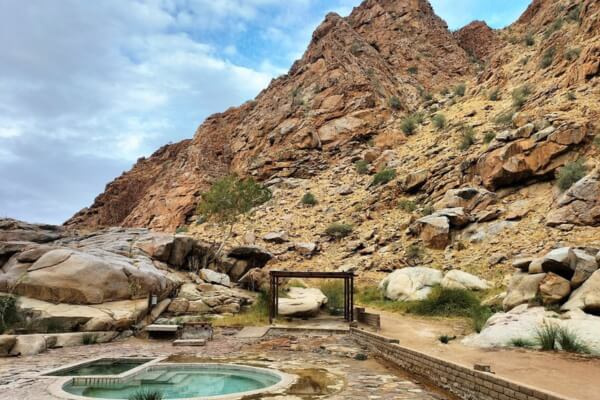
Hike along marked trails through the semi-desert landscape, following the ephemeral Molopo River to its sandy confluence with the Orange River. As you trek, keep an eye out for soaring black eagles and curious baboons. Towering red rock formations rise up to 80 meters, contrasting against the vibrant blue sky.
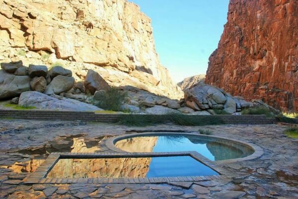
After a day of adventure, reward yourself with a refreshing dip in the spring-fed rock pool or soak your weary muscles in the hot spring. It's the perfect way to unwind in this volcanic wonderland.
Riemvasmaak (pronounced ‘rim fus maack’) means ‘tighten the strap’ or ‘tied with straps’. Early...
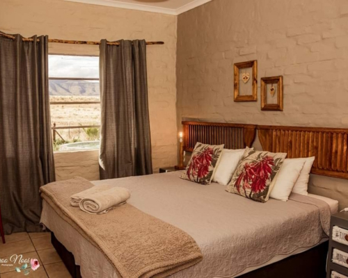
Kalkfontein guest farm is situated approximately 4,5 hours' drive from Cape Town and approximately 6 hours from Bloemfontein. It can accommodate 10 people with three bedrooms and a splash pool for those warmer Karoo days. Kalkfontein has been in the Hattingh family since 1934.
About the area:
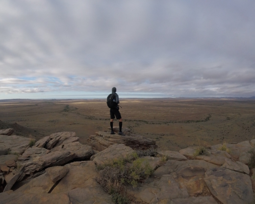
This is a tranquil part of the Karoo, known for its vast plains, clear blue skies, and unique flora and fauna. The area offers a perfect escape for those seeking peace and quiet.
Hike Directions:
Day 1: Gathering and Arrival
We'll all meet at Leeu Gamka petrol station early morning for a group drive to Kalkfontein Guest House. Once there, we'll have time to explore the area and relax. Every evening, we'll enjoy sundowners and appreciate the beauty of a Karoo sunset.
Hiking Days
Day 2 begins with the Blue Wildebeest Trail, a 9.4km hike that takes about 4 hours. We'll ascend the mountain and reach the mountain house, a charming structure built by the local farmer and his workers. Day 3 involves the more challenging Klipspringer Trail, a 6.2km circular route that takes approximately 5 hours.
On Day 4, we'll descend the mountain on the Kudu Trail, a 11km hike that takes about 4 hours. After this final journey, we'll depart from the Karoo, reflecting on the magic and peace of our mountain adventure. All hiking routes are Green Flag routes, and it's worth noting that Sylvester the Lion once roamed these mountains.
A four day hike starting form Kalkfontein Guest House. We'll all meet at Leeu Gamka...
Lilydale Rest Camp is a peaceful retreat nestled within the diverse landscapes of Mokala National Park. Situated approximately 70 kilometers southwest of Kimberley, this tranquil haven offers comfortable accommodations and a host of outdoor activities.
You can book your stay at Lilydale Rest Camp through SANParks' official website or through various online booking platforms.
About the area:
Mokala National Park is a relatively new park, established in 2007, and is located approximately 70 kilometers southwest of Kimberley in the Northern Cape province of South Africa. It's a hidden gem, offering a unique blend of diverse landscapes, abundant wildlife, and tranquil experiences.
The Lilydale Rest Camp Trail offers a serene 7-kilometer walk through the diverse landscapes of...
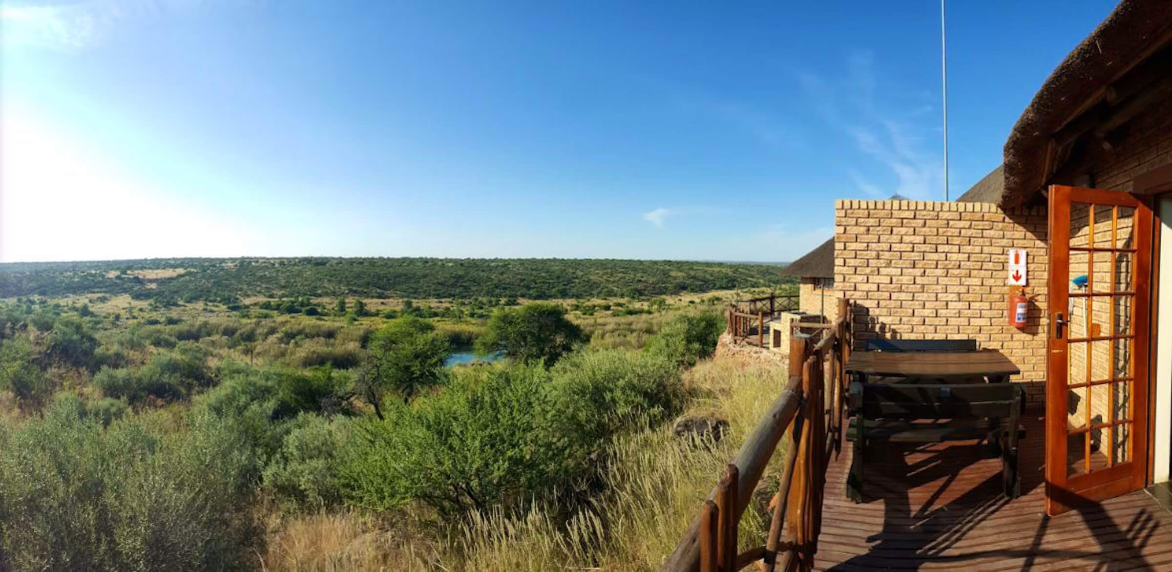
Lesoba Guest Farm is located in the eastern Free State, between Clarens and Fouriesburg. It's approximately 13 kilometers from Fouriesburg and 23 kilometers from Clarens.
About the area:
The area between Clarens and Fouriesburg in the Free State offers stunning mountain landscapes, serene river valleys, and clear night skies perfect for stargazing. Outdoor enthusiasts can enjoy hiking, cycling, 4x4 trails, birdwatching, and fishing. The charming towns of Clarens and Fouriesburg provide art galleries, craft shops, and delicious dining options.
Hike Directions:
11km Trail
Embark on a challenging hike, rewarded with breathtaking panoramic views of Lesotho, the Caledon River, and the Fouriesburg district. Along the way, discover unique rock formations, including the iconic Queen Victoria rock formation, ancient Bushman paintings, and even a dinosaur femur embedded in rock.
7km Trail
This moderate hike offers stunning vistas and opportunities to explore the diverse flora and fauna of the region.
6km Trail
A more leisurely hike, perfect for families and those seeking a gentle introduction to the area's natural beauty.
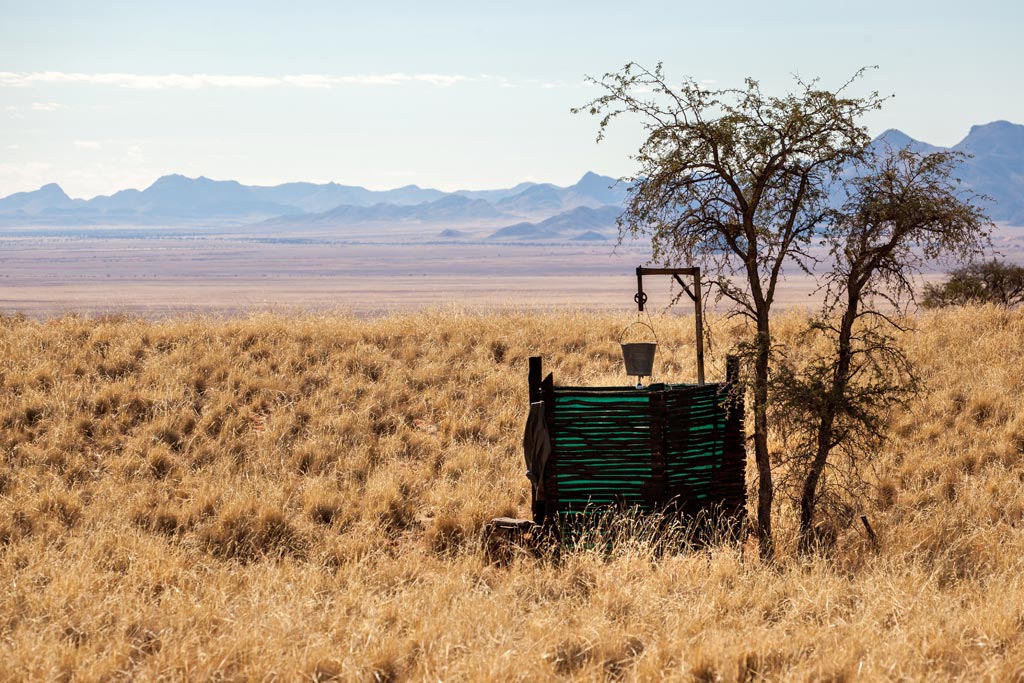
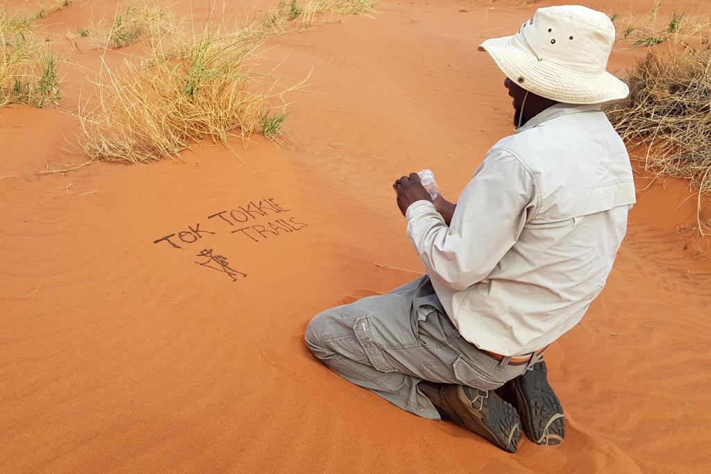
The Tok Tokkie Trails are located within the NamibRand Nature Reserve in Namibia.
About the area:
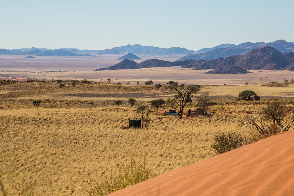
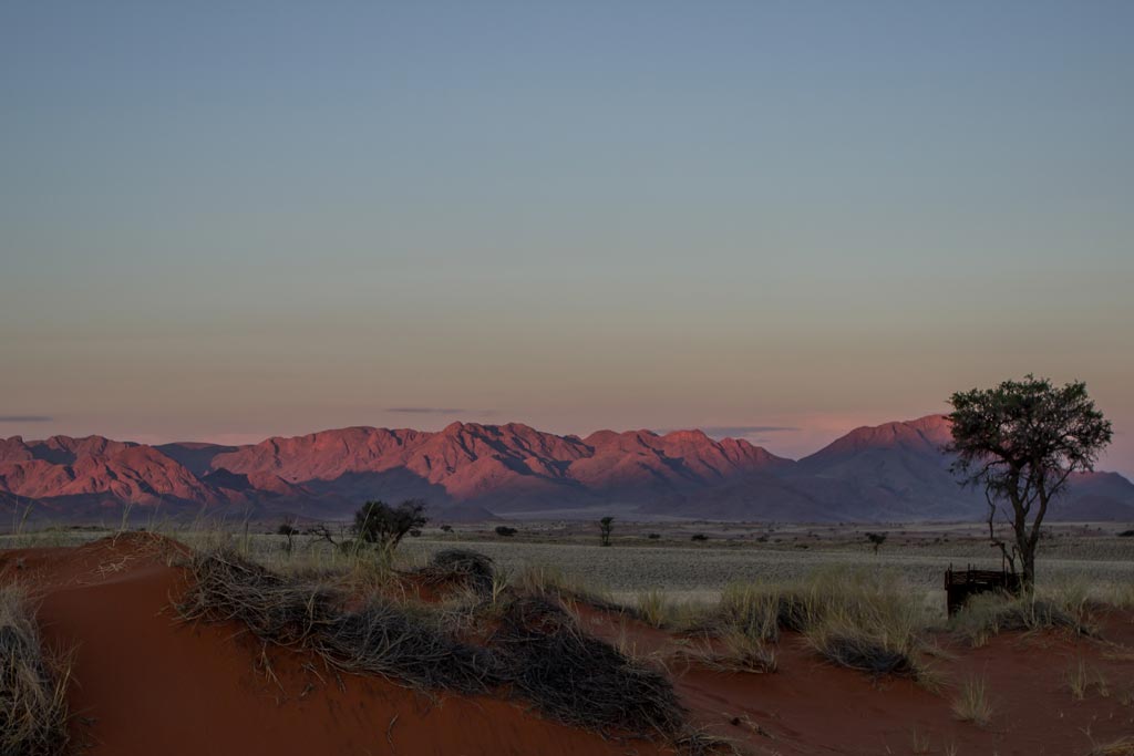
The NamibRand Nature Reserve is a vast private reserve in southwestern Namibia, renowned for its diverse landscapes, unique wildlife, and exceptional stargazing. It's one of Africa's largest private nature reserves, boasting towering dunes, rugged mountains, and vast plains.
The reserve is home to a variety of wildlife, including oryx, springbok, and desert-adapted lions. Birdwatchers can also delight in the diverse avian species.
A highlight of the NamibRand Nature Reserve is its designation as a Dark Sky Reserve. This means that the skies are exceptionally clear and free from light pollution, making it an ideal location for stargazing. Visitors can marvel at the celestial wonders, including the Milky Way, shooting stars, and various constellations.
Hike Directions:
Day 1: Arrival and Desert Introduction
Arrive at the Tok Tokkie Trails base by 2:00 PM and be greeted by our friendly team with refreshing drinks.
Replenish your water bottle and pack a small daypack for essentials you'll carry on the initial hike. Your luggage will be transported to the overnight camp by vehicle.
Visit the Namib Desert Environmental Education Trust (NaDEET) to learn about responsible desert conservation (www.nadeet.org).
Take a scenic drive to the starting point of the Tok Tokkie Trail.
Embark on your first hike, exploring a slope dotted with mysterious "fairy circles" and rolling sand dunes. These dunes offer unique beauty compared to the towering ones at Sossusvlei.
Arrive at the first overnight camp, a beautiful spot to relax and soak in the desert scenery. Enjoy a sundowner (drinks at sunset) before a delicious dinner.
As night falls, experience the magic of the NamibRand Nature Reserve, one of the world's International Dark Sky Reserves, with a clear and moonless sky offering incredible stargazing.
Tonight's unique sleep awaits: Enjoy the desert air on comfortable stretcher beds under the vast starry sky. (Walking time: 1-2 hours)
Day 2: Unveiling the Desert's Secrets
Start your day with a pre-sunrise cup of tea or coffee followed by a light breakfast to fuel your morning exploration.
Set off in the cool morning air, perfect for hiking. Witness breathtaking views of dunes and plains as your guide helps you discover the wonders of the Namib Desert – smell, feel, taste, and see the wonders of this ancient landscape.
Learn to "read" the desert's "morning news" written in the sand. With your guide's expertise, you might spot fascinating desert creatures like the golden mole, dancing white lady spider, barking gecko, dune lark, and even a flightless wasp.
Hike over a mountain saddle before gently descending to a dry riverbed. Throughout the day, your guide will unveil the desert's secrets – how plants survive, how insects and reptiles adapt, and how amazing mammals thrive without readily available water.
Enjoy a delicious lunch prepared by our chefs at a shady spot, perfect for relaxation and reflection on what you've seen.
As the afternoon heat subsides, embark on another hike, climbing over dunes towards your second overnight camp. The vista offers a breathtaking panorama of endless dunes, fairy circles, and majestic mountains – a photographer's paradise!
Witness the ever-changing play of colors on the dunes as shadows lengthen before sunset.
Wind down with a sundowner and a well-deserved dinner after a long but rewarding day. Listen to the nocturnal desert sounds – perhaps barking geckos, owls, or maybe just the peaceful silence. (Walking time: Morning: 4-4.5 hours / Afternoon: 2-2.5 hours.
Tonight's sleep: comfortable stretcher beds under the stars.)
Day 3: Farewell to the Desert
Wake up again to the soft light of dawn and enjoy breakfast before setting off on your final desert adventure.
Hike through a field of rolling dunes dotted with camel thorn trees, offering welcome shade along the way.
Today's route is on the easier side, and you'll arrive back at Tok Tokkie farmhouse by approximately 11:30 AM. (Walking time: Morning: 3-3.5 hours)
Please note: The trail direction might be reversed at times, offering a different perspective on the landscape at various times of the day. The final decision will be made by Tok Tokkie Trails.
The Tok Tokkie Trails are a series of guided hiking trails in the NamibRand Nature Reserve in...